Day 308, Year 1: Role Reversal—Log Written by Mark
Date: Monday, August 21, 2006
Weather: Mostly Sunny and Hot Day; Pouring Rain in the Evening
Location: Pago Pago Harbor, Tutuila Island, American Samoa
Some readers have written asking for more detail on American Samoa. I have to admit that Judy’s broken leg has slowed us down a bit. Normally she does the research and plans our shore jaunts. She is still researching, but since she can’t get very far ashore, she hasn’t much incentive to plan excursions.
Despite that, we have managed through the generosity of Evelyn Bowles Weilenman and the inexpensive aiga bus service to see a fair amount of the island. We plan to do more bus excursions and rent a car one day this week. And I plan to hike up to the TV transmitters on Mt. Alava along with Brian on “Thistledown.” On a clear day, you can see all the way to Western Samoa from the top.
The reason I am writing the log today is that Judy has been sanding Dorade boxes all day. Normally I do the sanding and she does the varnishing, but I needed to go to town and Judy decided to stay here and sand away. My trip to town had two purposes. One was to track down a wheel chair for Judy and the other was to find a film about American Samoa that I produced back in 1968. I visited the TV studios where I once worked, but they no longer have the film. They sent me to the public library. No luck. But they told me that the film might be in the Archives at another location. I’ll have to check that on another day. I also had no luck in find a wheelchair, but I did get a couple of leads. Maybe tomorrow.
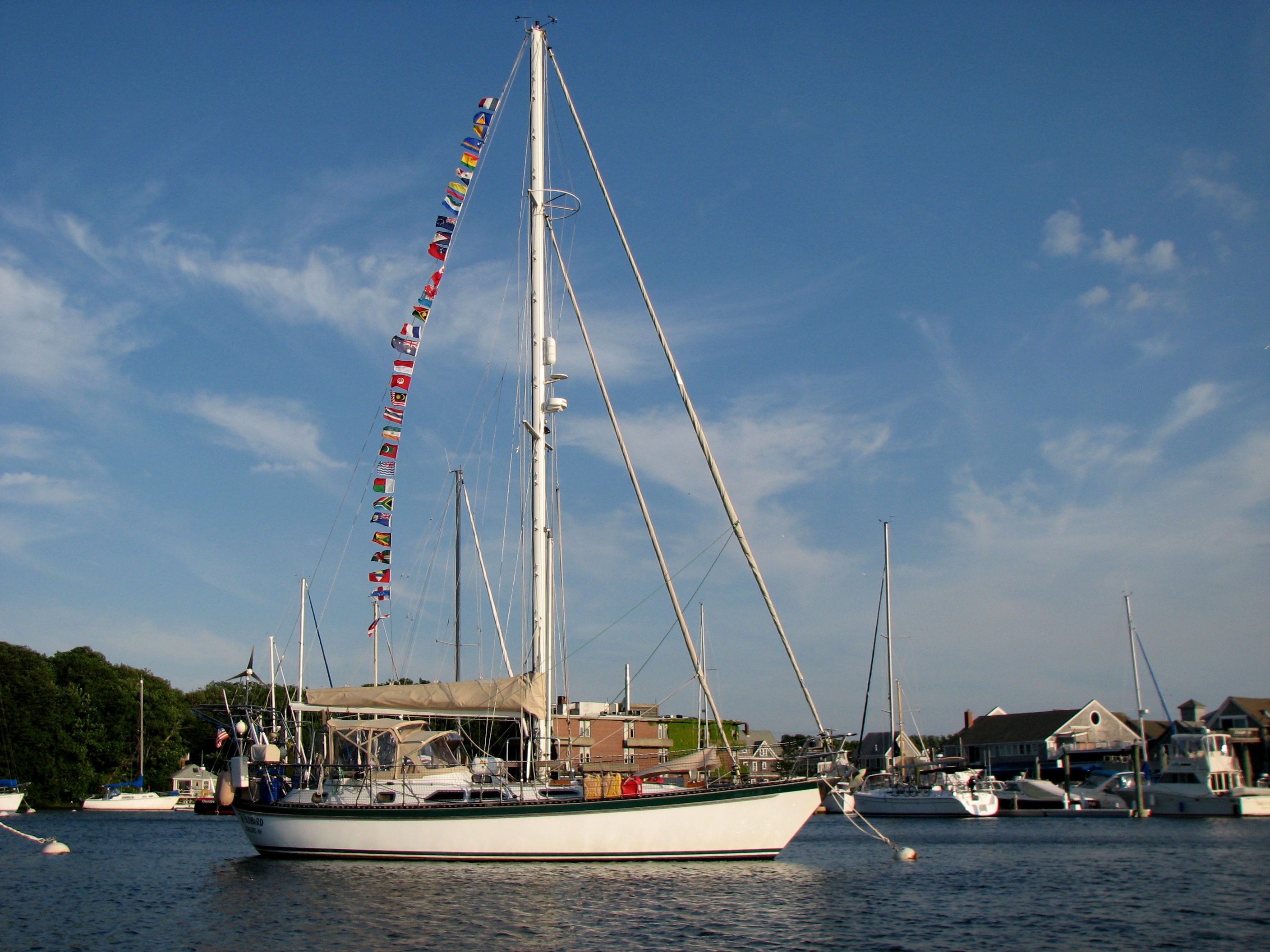
Once I returned to the boat, Judy was still sanding, so I am writing the log. In terms of describing the island, I’ll start close to home in Pago Pago Harbor. The harbor is shaped like a dog leg so that when you come in by boat you enter the harbor and then make a sharp left turn going deep into the bay where the yacht anchorage is. Once there you cannot see the open ocean – you are surrounded on all sides by mountains which make a beautiful backdrop. Actually, we are anchored in the cauldron of a very large volcano. One side of the volcano has fallen away to open up this very protected harbor. There are a number of communities surrounding the harbor but to all appearances it is one town starting with the canneries on the north side of the bay and working around to the Yacht Club on the other side. Pago Pago is a small community at the head of the bay from which the area derives its name. Today the harbor was calm with a slight breeze and we had only one sprinkle. And even for a couple that has become acclimated to the tropics, it is stifling hot. But some days and most nights it rains heavily and we have had some pretty good winds funneling down the bay (20 to 30 knots). So “very protected” doesn’t keep out the wind, but it does keep out the ocean swell. It can get a little choppy in here, but for the most part the waters are calm.
One of the criticism’s we heard and read often before arriving here is that Pago Pago Harbor is filthy. However, there has been an effort to clean up the island and it is having an effect. We see very little trash along the streets and roads. Yards are mostly well kept. The bay water does not have the oily sheen that we often saw in Rarotonga and is actually pretty clear. But after a heavy rain, lots of plastic bags and Styrofoam cups and fast food containers wash into the bay . . . enough that you feel you could walk to shore on them. They say the bottom of the bay is covered in plastic bags. Certainly, it is difficult to get an anchor to hold here. It seems that everyone drags anchor at some point. But that may be due to the thin layer of silt on top of a rock-hard base – or it could be the plastic bags!
Generally we have been pleasantly surprised by the cleanliness of the place. One thing we do have difficulty with is the smell coming from the Tuna canneries – “the smell of money” as Evelyn would say. And certainly the canneries are a major revenue producer for the island. Speaking of revenue producers, there isn’t much here in the way of industry and infrastructure to support tourism. In fact, it is almost non-existent. The US National Park Service produces a map, but it is pretty sketchy. There is a significant portion of land set aside as the newest US National Park. It includes a very large tract on the north side of the island from near Fagasa to Afono, from the mountain ridge to the sea. In addition, a large portion of the island Ta’u is included and a small parcel on Ofu. These are two islands in the Manua group.
Outside of the bay area the island runs roughly east to west being about 21 miles long. At it’s widest, it is about 3 miles. Pago Pago Harbor is right in the middle and cuts so deeply inland that it almost divides the island into two parts. When I was here 38 years ago the population was about 25,000. Now it has doubled. Most of the population lives in the bay area, but there are small communities all along the coast on the south side of the island and in every inlet on the north side. The main road runs from one end to the other along the south side with numerous branches going over the mountains to villages on the north shore. Gone are the traditional fales (thatched-roofed houses). Apparently a hurricane in the ’80’s wiped the last of them out and they have been replaced by modern palagi-style homes of concrete or wood frame (palagi is the Samoan word for white man or outsider). In the more remote villages there are Samoans still living a subsistence lifestyle. But for most Samoans bananas, taro, breadfruit, fresh fish, and papaya are supplemented with a wide range of imported groceries from the US and New Zealand. There is a McDonald’s here and lots of local fast food places. And the grocery stores range from tiny family affairs to large supermarkets very similar in style and offerings to those in the US.
When I was here in the ’60’s I worked at the television studios. As I mentioned before, I went by there today to see what had changed. The outside is still about the same – except that the windows have all fogged up over the years. Inside is very different. There are cheap thin-wall partitions dividing up what used to be studios. We had four studios working in the ’60’s, now there is one. The rest has been converted to office and storage space. Still, it was possible to discern some of the old spaces where we worked and it brought back a flood of memories.
Yesterday Evelyn took us out to where I had lived for a short time in Tafuna and then to our house in Leone. It left me with mixed emotions. It was great to have it bring back memories of people and parties in those days, but it was depressing to see the condition of the homes. The ones in Leone are totally overgrown with brush and trees that weren’t there 38 years ago. And everything was mildewed. But a few of them were still lived in – though it is hard to imagine how! Some of the homes in Tafuna are a little better, but I was not able to identify my old place on a drive through.
My one big regret about those days is that I just don’t remember much. I wish we had published a yearbook so I could refresh myself with the names of old friends.
 |
| 060821 Day 308 American Samoa–Pago Pago Harbor and Dorade Boxes |