Day 12, Year 8: ICW Mile 50 to Mile 102, Coinjock to Alligator River
Date: Thursday, November 15, 2012
Weather: Overcast, Breezy, and Cool; Winds NE 16-22, Calming to NE 14
Latitude: 35 40.535 N
Longitude: 076 04.732 W
Location: Intracoastal Waterway, Mile 102, Bear Point, Alligator River, NC
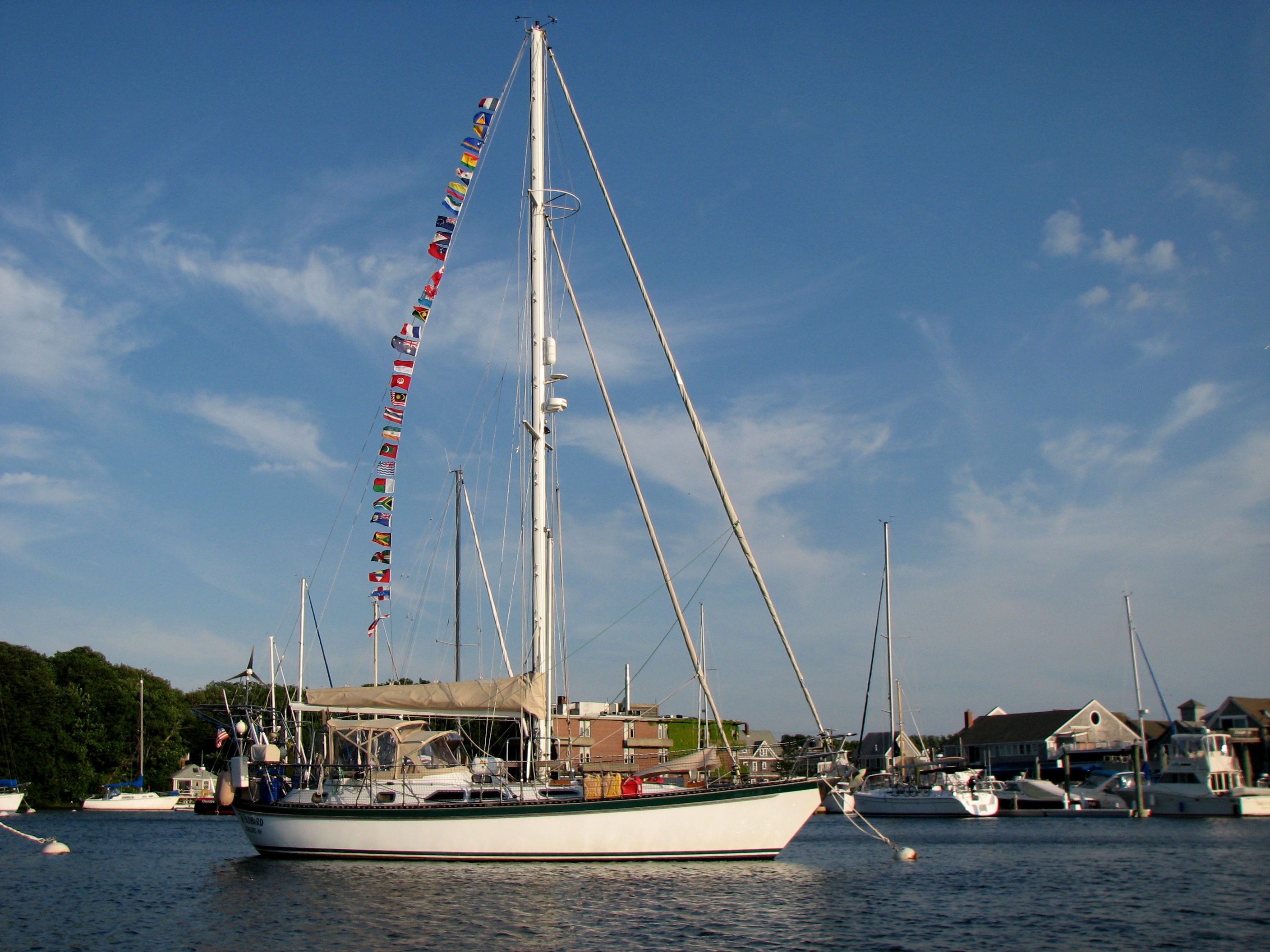
Today we were part of a parade of sailboats negotiating our way from Coinjock, across Albermarle Sound, through the Alligator River Swing Bridge, and into anchorages in the headwaters of the Alligator River just before the entrance to the Alligator River-Pungo River Canal. We are just off the waterway, and I mean JUST off, but we dare not go further in toward shore as it gets super shallow. We have had weather issues since leaving Cape Cod and now the tedium of negotiating the ICW where you dare not get even a few feet out of the channel without going aground in many places has made this a trip of tense days. And Windbird has not been liking the conditions either. We have been pushing the RPM’s to make bridge openings and going at the faster speeds just doesn’t agree with Windbird. She takes off to starboard and we have to steer with all our might to keep her on track. The auto pilot just can’t handle it. And then there is the problem of finding suitable anchorages. We had to do a short day yesterday and again today because the next possible stopping place would have brought us in well after dark. Let’s just say this is not the most relaxing trip we have ever embarked upon.
Meeting Bill and Cathy yesterday has proven to be a very good thing for us. Bill came knocking on Windbird at 6:15 am this morning with updates on today’s route that we needed to copy before taking off. Just before the Alligator River Swing Bridge, there is a very confusing spot where the charts are just wrong and many boats go aground. With Bill’s help, we made it through just fine. Then he helped us get off the dock which had worried both Mark and I all night long. We were wedged in between two trawlers and the wind was blowing us onto the dock. But with Bill’s help, getting off was easy. And then he found tonight’s anchorage for us. We have Dozier’s Waterway Guide which I am finding difficult to use. Bill and Cathy have something they call Captain Bobs’ guide and it seems to have much more information. The anchorage that we had chosen for tonight based on our guide has all kinds of things on the bottom to snag anchors according to Captain Bob. So Bill called with the recommendation of Bear Point. Thank you, Bill. He has also done his homework on where we might stop to overnight in the next few days. Right now Mark is working on the same thing and I have been reading the guide trying to digest all of the information. There are so many places along the ICW where you have to be very careful to not go aground and so few places deep enough for us to anchor. I think we are getting close to a plan that might get us into Little River on Monday afternoon, but the Captain needs more time to work on this. It would be helpful if we could talk easily with Bill and Cathy, but there is no phone service here, thus no internet. So we can’t share proposed routes by email. Talking on the radio is just too confusing, but hopefully sometime tomorrow we will be out of the swamp and back into phone range and will be able to confirm a plan. And since there is no internet, I had better stop here and see if we can get this log sent via HAM radio.
 |
| 121115 Day 12 Passage South, USA–ICW Mile 50 to Mile 102 |